 FIND THE BEST PLACE FOR A SHOP
The estate agent Knight Frank helps retailers find the perfect locations for their stores. This is no easy task. It’s necessary to factor in a long list of commercial factors. These include population density, footfall, rent levels, traffic, local facilities, utilities and so on. To fuse together all variables Knight Frank uses ArcGIS. Brands can thus view all datasets, and add their own and third-party data, to create a comprehensive overview. The results can be shared and viewed through ArcGIS online. Geospatial mapping helps Knight Frank cut search times, and allows brands to perform maximum commercial due diligence on sites before making a decision.
CROSSRAIL LAUNCHES ON BUDGET
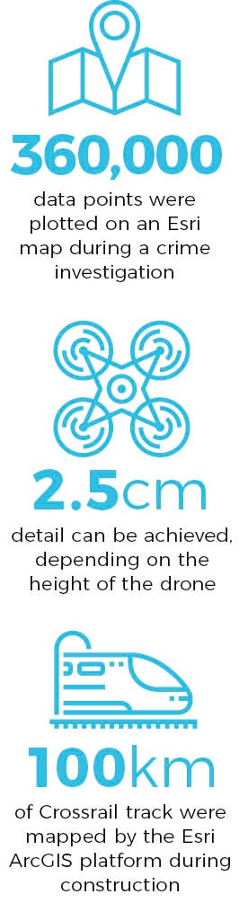
Crossrail is now live. The Elizabeth line, as it is now known, is running trains from Shenfield to Liverpool Street, the first step towards complete service in 2019 spanning 100km through 40 stations. It was Europe’s largest construction project costing £15 billion. A key tool during construction was the Esri ArcGIS platform. It mapped the entire Crossrail route and thousands of assets are all tracked on ArcGIS. The landscape is lavishly illustrated – if a tree threatens visibility it can be flagged on the system, and pruned. Field Engineers on site use the ArcGIS Collector App on mobile tablets to check exact boundaries against map records. The public are kept up to date too through the platform. ArcGIS Online and Esri UK’s Open Data Portal is used to publish selected content for the general public, media and third parties.
SURVEY BY DRONE
There are times when you need a pin-sharp view of a landscape. FERA Science a science-based organisation that works across the agri-food supply chain, renowned for composing high-resolution images of the landscape by drone. Detail can be between 2.5cm to 5cm depending on the height of the drone. Cameras capture data in real colour and infrared. The data is then mapped onto existing databases in ArcGIS. With a perfect visualisation of the land the farmer can make accurate decisions on fertiliser levels and crop management strategies. It’s all about the pursuit of yield. An increase of a few per cent — easily achievable by this method — means a farmer can boost profits and make a serious contribution in the global food shortage crisis.
MAKE BUSES FIRST CHOICE IN YORKSHIRE
The South Yorkshire Passenger Transport Executive runs buses for four local authorities running from Leeds in the North, Scunthorpe in the East and the Peak District in the South. For more than a decade the Executive has used ArcGIS to map out routes and handle many different public and private data sources to improve performance. Saad Masood, senior GIS analyst at the Executive, says: “GIS is the starting point for all of the information products we produce. Even when a finished product has no actual map on it, the data that is included in it has been produced using GIS and spatial analysis.” For example, when new housing developments are proposed ArcGIS allows analysis of multiple route models to identify the best service levels, given traffic fl ow, population levels and environmental considerations.
LOWER CRIME
Predictive policing is a huge trend right now. Police use maps to solve crime statistics, and even guess where the future hot spots will be. Durham Police is at the forefront. It recently led an investigation into organised crime thefts of £57 million-worth of museum quality rhino-horn and jade artefacts. Lasting four years, the search involved 600 officers. Data included automatic number-plate recognition, telephone records, offence locations and several other layers of intelligence. Around 360,000 points were plotted on a map supplied by Esri UK. The result was a successful apprehension and conviction of the gang responsible, with 14 men serving sentences totalling 72 years. The breakthroughs based on advanced mapping won Durham Police The Importance of Where category at the Esri UK Customer Awards 2016.
Blog/EsriUK/Durham Constabulary
Everyone has a story to tell. Harness the power of maps to tell yours. Explore the Esri Story Map Gallery and be inspired.
